ZIPS
Parsonsfield
Kezar Falls
East Parsonsfield
Hiram
Cornish
Freedom
Center Conway
Chatham
Eaton Center
Madison
Effingham
West Baldwin
Center Ossipee
Conway
Albany
Silver Lake
Denmark
Fryeburg
North Fryeburg
Files
Social
Photos
Books
Links
Prev
2
Next
Porter, Maine 04068
(Photos)
Porter-Parsonsfield Covered Bridge. Porter, Maine. Spanning Ossipee River. NRHP designated in 1970–ten years after it was bypassed.
1922 Aveling & Porter ME 2103
1922 Aveling & Porter ME 2103 (r) & 1924 Fowler U 9493 (l) at Swanage Railway Roads to Rail Steam Rally held at Norden on 30-06-2024
2024-0409Falling-Water0001
Geometrías y formas
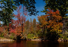
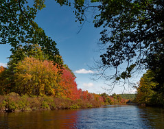
Maine Autumn
Maine Autumn
2023-1019Sunset0001
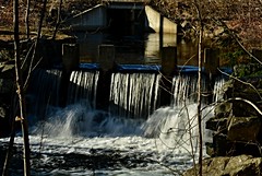
2023-0730Old-Mill-Spillway0001
2023-0730Old-Mill-Spillway0002
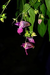
2023-0730Himalayan-Balsam-Flower0001
2023-0730Himalayan-Balsam-Flower0003
2023-0730Himalayan-Balsam-Flower0004
2023-0730Himalayan-Balsam-Flower0002
2023-0730Himalayan-Balsam-Flower0005
2023-0722Himalayan-Balsam-Flower0001
2023-0722Himalayan-Balsam-Flower0002
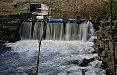
2023-0722Ridlon-Brook-Mill-Falls0003
2023-0722Ridlon-Brook-Mill-Falls0004
2023-0722Ridlon-Brook-Mill-Falls0002
Porter-Parsonsfield Covered Bridge in Porter, Maine. Spanning Ossipee River. Built in 1876 using the Paddleford Truss System. NRHP designated in 1970. Closed to traffic in 1960.
State Line Sign. Porter, Maine.
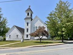
Riverside United Methodist Church. 5 School Street. Porter, Maine.
2023-0505Ridlon-Brook-Dam0001
2023-0504Colcord-Pond-Brook0001
Prev
2
Next